Barwani
| Use attributes for filter ! | |
| Area | 5427 |
|---|---|
| Literacy | 49. 1% |
| Population | 1. 386 million (2011) |
| Division | Indore division |
| Tehsils | Barwani |
| Thikri | |
| Rajpur | |
| Sendhwa | |
| Pansemal | |
| Niwali | |
| Anjad | |
| Pati | |
| Warla | |
| Established | 25 May 1998 |
| Date of Reg. | |
| Date of Upd. | |
| ID | 2965250 |
About Barwani
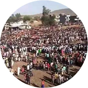
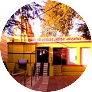
Barwani district is one of the districts of Madhya Pradesh state of India. The administrative headquarters of the district is at Barwani. Barwani district has an area of 5,427 km² and a population 1,385,881. The district lies in the southwestern corner of Madhya Pradesh; the Narmada River forms its northern boundary.