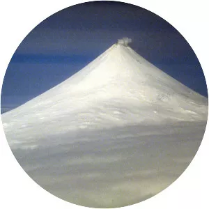
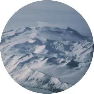
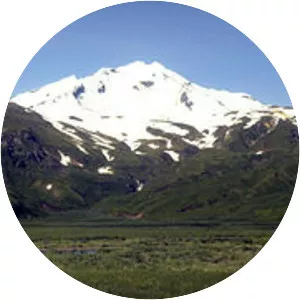
Bogoslof Island
| Use attributes for filter ! | |
| Elevation | 150 |
|---|---|
| Locations | Aleutian Islands |
| Alaska | |
| Volcanic arc | Aleutian Arc |
| Designated as world heritage site | 1967 |
| Last eruption | August 30, 2017 |
| Date of Reg. | |
| Date of Upd. | |
| ID | 2340957 |
About Bogoslof Island
Bogoslof Island or Agasagook Island is the summit of a submarine stratovolcano at the south edge of the Bering Sea, 35 miles northwest of Unalaska Island of the Aleutian Island chain. It has a land area of 319. 3 acres and is uninhabited. The peak elevation of the island is 490 feet.