Drayton Valley
| Use attributes for filter ! | |
| Elevation | 869 |
|---|---|
| Weather | 1°C, Wind W at 23 km/h, 51% Humidity |
| Hotels | View hotels |
| Population | 7,235 (2016) |
| Local time | Saturday 15:55 |
| Mayor | Michael James Doerksen |
| Area code | 780 |
| 587825 | |
| Date of Reg. | |
| Date of Upd. | |
| ID | 2260538 |
About Drayton Valley
Drayton Valley is a town in central Alberta, Canada. It is located on Highway 22, approximately 133 kilometres southwest of Edmonton. It is surrounded by Brazeau County, known for its vast oil fields. The town is located between the North Saskatchewan River and the Pembina River.
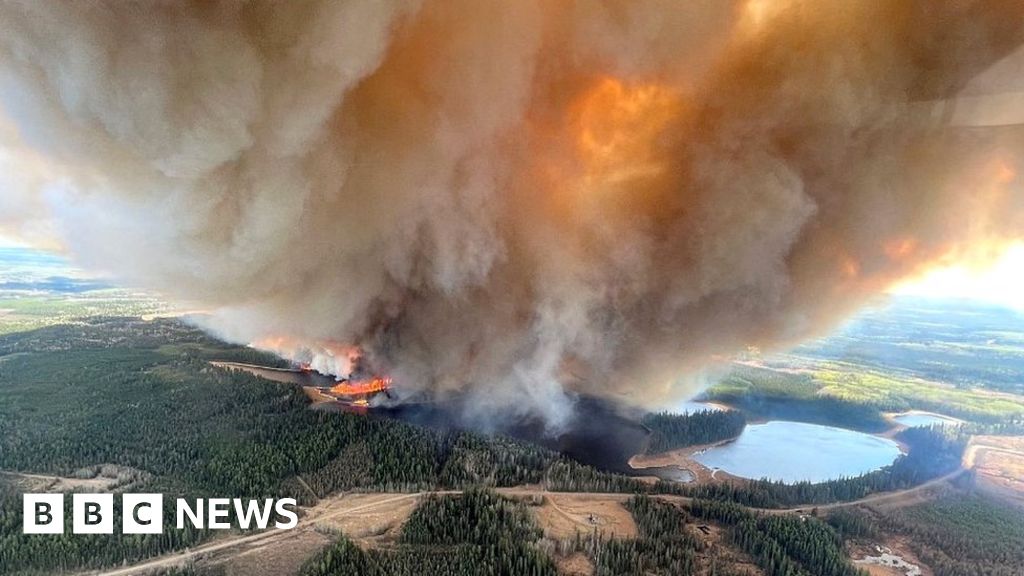
Canadian province of Alberta declares wildfire emergency
Alberta has declared a state of emergency after wildfires spread across the western Canadian province, driving nearly 25,000 people from their homes.
Faced with More Than 100 wildfires, Alberta's Premier Danielle Smith called The Situation " unprecedented".
Residents of Edson, a town of More Than 8,000, were told to leave immediately.
Ms Smith said a hot, dry spring had created " so much kindling" and some 122,000 hectares (301,000 acres) had burned So Far .
Many of the fires are Burning Out of control, fanned by strong winds.
The worst-hit areas include Drayton Valley , about 140km (87 miles) west of the provincial capital Edmonton, and Fox Lake , some 550km north of The City , where 20 homes were consumed by fire.
Firefighting helicopters and air tankers have been brought in and the federal government has offered assistance from Ottawa.
Edmonton Expo Centre is accommodating More Than 1,000 evacuees and in The Town of High Level a curling rink is being turned into a temporary shelter.
Alberta is a major oil-producing region, but So Far oil facilities do not appear to be in immediate danger.
Related TopicsSource of news: bbc.com


