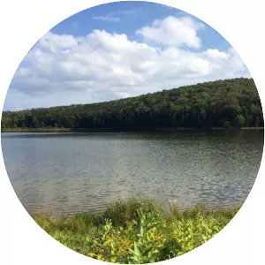
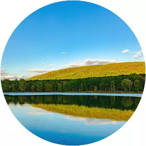
Glady Fork
| Use attributes for filter ! | |
| Length | 51 km |
|---|---|
| Mouth | Dry Fork |
| Country | United States |
| Basin size | 64 sq mi (170 km2) |
| Mouth elevation | 593141 |
| Regions | Randolph County |
| Tucker County | |
| Date of Reg. | |
| Date of Upd. | |
| ID | 2940769 |
About Glady Fork
Glady Fork is a 31. 9-mile-long river in the Allegheny Mountains of eastern West Virginia, USA. It is considered one of the five principal headwaters tributaries of the Cheat River — known as the Forks of Cheat.