About Hobulaid
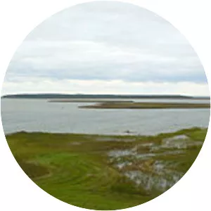
Hobulaid is a Baltic Sea island belonging to the country of Estonia. Its coordinates are 58°56′37″N 23°23′07″E Hobulaid is located between the island of Vormsi and the ferry port of Rohuküla on the Estonian mainland. Hobulaid has an area of 75 hectares. The highest point is 6. 6 metres above sea level.