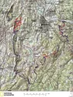
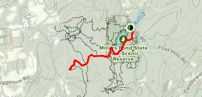
Mattabesett Trail
| Use attributes for filter ! | |
| Length | 80. 47 km |
|---|---|
| Highest point | Higby Mountain |
| Lowest point | Connecticut River |
| Middletown | |
| Use | geocaching |
| Designations | Connecticut Forest & Park Association |
| Blue-Blazed Trails | |
| Date of Reg. | |
| Date of Upd. | |
| ID | 2430330 |
About Mattabesett Trail
The Mattabesett Trail is a 50-mile long, hook-shaped Blue-Blazed hiking trail in central Connecticut and a part of the New England National Scenic Trail.
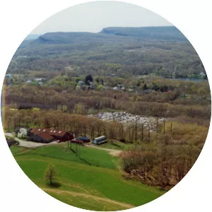
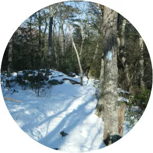
Mattabesett Trail Photos