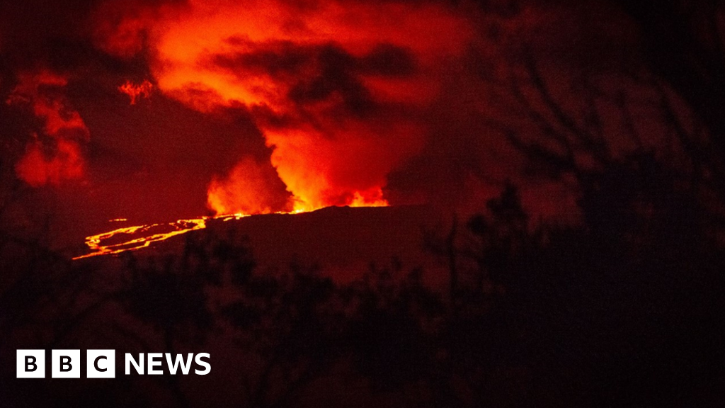
Mauna Loa
| Use attributes for filter ! | |
| Last eruption | April 15, 1984 |
|---|---|
| November 27, 2022 | |
| Elevation | 4,169 m |
| Area | 5,271 km² |
| Volcanic arc/belt | Hawaiian-Emperor seamount chain |
| Topo map | USGS |
| Did you know | It is a shield volcano covering more than 50 percent of the Hawaii Island. |
| Ratings | 4.4 |
| Prominence | 2,158 m |
| First ascent | February 1794 |
| First ascender | Archibald Menzies |
| Mountain range | Hawaiian–Emperor seamount chain |
| Date of Reg. | |
| Date of Upd. | |
| ID | 864941 |
About Mauna Loa
Mauna Loa is one of five volcanoes that form the Island of Hawaii in the U.S. state of Hawaii in the Pacific Ocean. The largest subaerial volcano in both mass and volume, Mauna Loa has historically been considered the largest volcano on Earth, dwarfed only by Tamu Massif.
Click on the photo of Mauna Loa to view it on Google Maps.
Mauna Loa eruption: What's happening inside the world's biggest volcano?

Nov 30,2022 8:30 pm
...Mauna Loa - the world s largest active volcano - is erupting for the first time since 1984...
Mauna Loa: World's largest active volcano erupts in Hawaii

Nov 28,2022 7:20 pm
...By Sam CabralBBC NewsThe world s largest active volcano, Hawaii s Mauna Loa, has erupted for the first time in almost 40 years...


