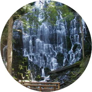
Muddy Fork
| Use attributes for filter ! | |
| Length | 9. 7 km |
|---|---|
| Mouth | Sandy River |
| Country | United States |
| District | Clackamas County |
| Date of Reg. | |
| Date of Upd. | |
| ID | 2303671 |
About Muddy Fork
Muddy Fork is a tributary, about 6 miles long, of the Sandy River in the U. S. state of Oregon. Arising at the base of Sandy Glacier on the west slope of Mount Hood, it flows west through the Mount Hood Wilderness in the Mount Hood National Forest.