Puracé
| Use attributes for filter ! | |
| Elevation | 4,646 m |
|---|---|
| Last eruption | 1977 |
| Prominence | 1,386 m |
| Volcanic belt | Andean Volcanic Belt |
| Parent ranges | Cordillera Central |
| Andes | |
| Ratings | 4.7 |
| Last erupt | March 1977 |
| Coordin | 2°18′50″N 76°23′43″W / 2.31389°N 76.39528°W |
| Volcan belt | Andean Volcanic Belt |
| Mountain range | Andes |
| Cordillera Central | |
| Date of Reg. | |
| Date of Upd. | |
| ID | 2411571 |
About Puracé
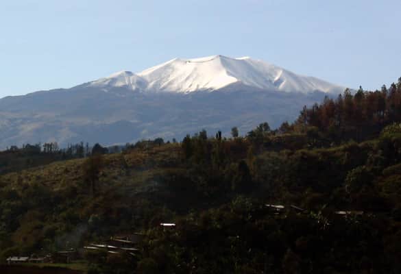
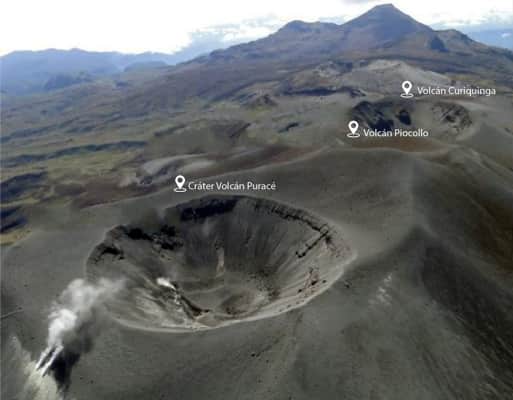
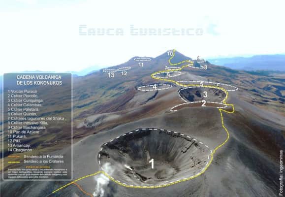
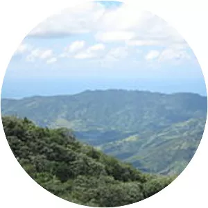
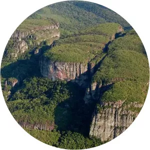
Puracé is an andesitic stratovolcano located in the Puracé National Natural Park in the Cauca Department, Colombia. It is part of the North Volcanic Zone of the Andean Volcanic Belt. The volcano is located at the intersection of the Coconucos and Morras Faults. It is one of the most active volcanoes in Colombia.
Where is the Puracé
Click on the photo of Puracé to view it on Google Maps.
Puracé Photos